


Explore the Flint Hills by Jeep or SUV
Orange Route Points of Interest

Teter Rock
Coordinates: 38.0303294, -96.4232013
There was once a small community here – Teterville, Kansas – founded in the 1920s during an oil boom. The community was named after James Teter who owned the land and oil fields.
The original Teter Rock was a pile of stones created as a guidepost to help homesteaders find their way. However, the original stones were later used in the construction of homes in the area. The current 16' Teter Rock slab was created as a monument to the original by the Greenwood County Historical Society in 1954.
You'll likely see cattle in the open range around Teter Rock. If you're lucky, you may even see the wild horses who roam the area to the south.

Texaco Hill
Coordinates: 38.0897407, -96.3972368
Heading up to Texaco Hill is a beautiful drive through open range. Just west of the intersection of Madison Road and H50, you'll see an oil rig. This is the top of Texaco Hill, at an elevation of 1,637 feet. Park near the oil rig to enjoy some of the best views in all of the Flint Hills. Texaco Hill is also a favorite challenge among local cyclists – conquering the uphill climb to the top on bicycle is worth it.
Pink Route Points of Interest

Verdigris Crossing
Coordinates: 38.187951, -96.401449
This is a low-water crossing over a shallow section of Camp Creek. Camp Creek merges into the Verdigris River about 200 feet south of the crossing. The Verdigris is visible as you come around the bend heading south. If it's rained heavily recently, be careful here and do not drive into high or rapidly moving water. The creek crosses a public road, but the land and waterway on either side of the road are privately owned – remember to stay on the roadway.

Matfield Green Tower
Coordinates: 38.151527, -96.4603423
If you're wanting to watch a sunset, most locals agree this is a prime viewing point. Marking the spot is a 393-foot tall communications tower built in 1952.
Teal Route Points of Interest

Rocky Ford Bridge (aka “Bird” Bridge)
Coordinates: 38.36590899999999, -96.11496
This steel truss bridge was built in 1890s by A.M. Blodgett Bridge Company of Kansas City for a cost of $6,000. The bridge originally stood across the Union Pacific railway tracks at the Kansas City Stockyards and was moved its current location in 1907. At the time of its placement over the Cottonwood River in Lyon County, it was the largest single span bridge in the state of Kansas.
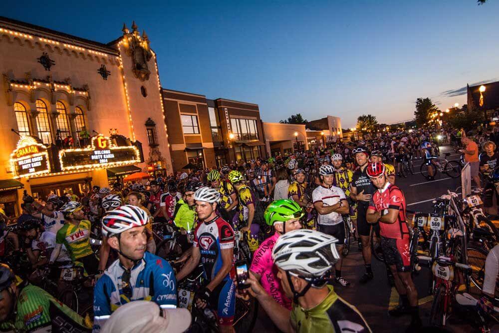
In 1987, the bridge was featured in the true crime movie, “Murder Ordained” and today it is part of a popular gravel cycling route. Read the lore of Rocky Ford bridge here.
Green Route Points of Interest

Lake Kahola
Coordinates: 38.528873, -96.423394
Please note that this lake is privately owned by the Kahola Lake Community so there is no public fishing or boating allowed. However, you'll be able to view the lake as you travel along the north side and as you cross the dam on the east end.
Yellow Route Points of Interest

Hwy 177 Schrumpf Hill Scenic Overlook
Coordinates: 38.3210175,-96.5437375
Pull off the highway and follow the path through native grasses and wildflowers while experiencing expansive views of the Flint Hills. The site includes interpretative panels describing the flora and fauna of the prairie.
More to do
Don't miss these other Emporia favorites while you're in town

Union Street Social
Self-described as half speakeasy and half grandma’s basement, this eclectic eatery features upscale cocktails and…
Read More >
Trox Gallery and Gifts
Spruce up your home or find a fun gift at Trox! Visitors will find eclectic…
Read More >
Mulready’s Pub
Recently voted best bar in the Flint Hills, Mulready’s Pub is the place for craft…
Read More >
Do-B’s Burger Barn, Philly Stop & Po-boy Shoppe
This counter-serve outlet offers savory burgers as well as a variety of tantalizing Philly cheesesteaks…
Read More >
Radius Brewing Company
Emporia’s first brewery since prohibition features brick-oven pizzas, burgers, mac & cheese, sandwiches, soups and…
Read More >
David Traylor Zoo of Emporia
Visit the David Traylor Zoo and experience exotic animals and lush botanicals in a beautifully…
Read More >
Make Emporia your base camp for exploring the Flint Hills. Check out local options for hotels, B&B's, and campgrounds.
You must be logged in to post a comment.